Top Trails
Some trails are worth coming back to again and again.
From spectacular waterfalls and peaceful forest trails to breathtaking views across the Darling Range, Serpentine Jarrahdale is home to some of Western Australia's most memorable outdoor experiences. Discover three local favourites and find your next adventure.
Kitty's Gorge
Bushwalking | Waterfalls | Forest scenery
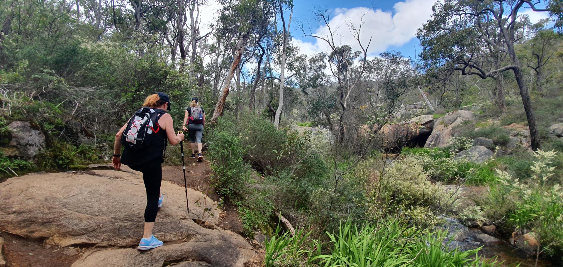
Image: Off The Beaten Track
One of the Perth Hills' most iconic walking trails, Kitty's Gorge takes you through beautiful bushland, past granite outcrops and alongside the flowing waters of Gooralong Brook and the Serpentine River.
Discover waterfalls, woodlands and seasonal wildflowers along the way, with plenty of opportunities to stop and take in the scenery. After your walk, explore nearby Jarrahdale and discover the town's local history, cafes and attractions.
View trail details and map →
Serpentine Falls
Waterfalls | Nature | Picnic areas
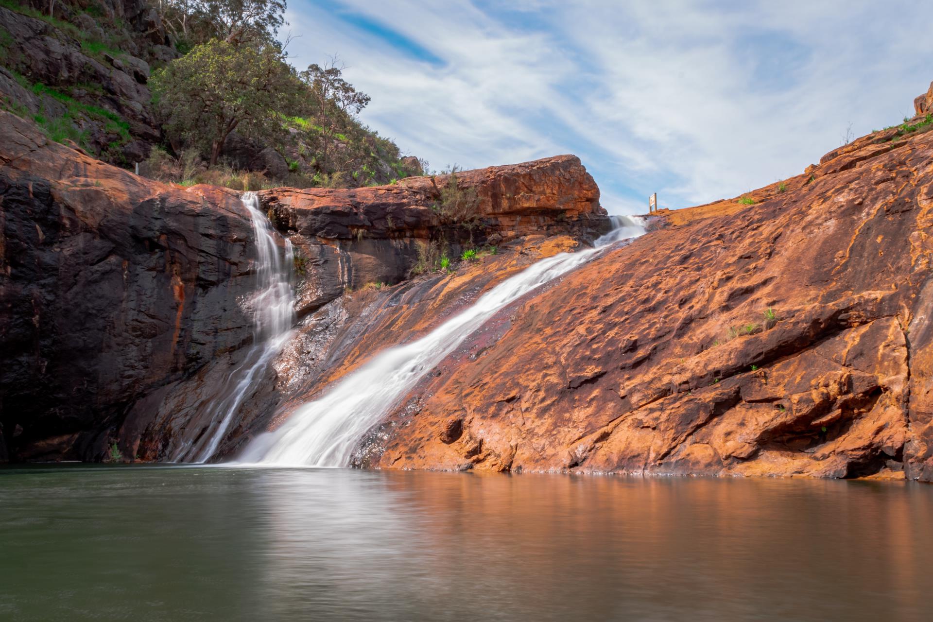
Image: The Life of Py
One of the region's most recognisable natural attractions, Serpentine Falls is a beautiful place to reconnect with nature. Set within Serpentine National Park, the waterfall cascades over a granite rock face into the pool below.
Enjoy the view from the designated viewing area, relax among the natural surroundings or make use of the nearby picnic facilities. Spring is a particularly lovely time to visit, with wildflowers bringing extra colour to the landscape.
If you're looking to explore further, the nearby Kitty's Gorge and Baldwin's Bluff trails offer more opportunities to discover the national park.
View trail details and map →
Sullivan Rock to Mt Cooke
Challenging hike | Bibbulmun Track | Panoramic views
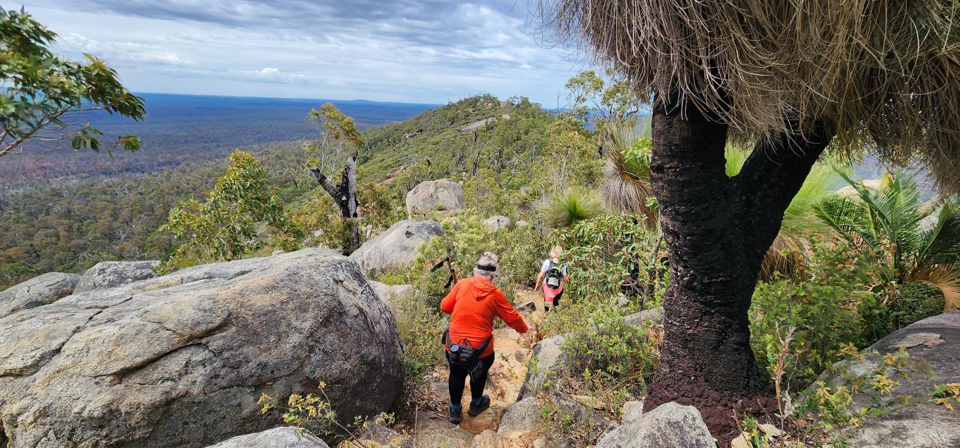
Image: Off The Beaten Track
Ready for a bigger adventure? Follow a section of the famous Bibbulmun Track from Sullivan Rock to Mt Cooke, the highest point in the Darling Range.
This rewarding hike takes you through beautiful jarrah forest, past creeks and native bushland before climbing towards the rocky summit. Take in sweeping views across the surrounding landscape and experience some of the region's most spectacular scenery.
With a campsite near the base of the mountain, the trail is also an option for experienced walkers planning an overnight adventure. Make sure you're prepared for the distance, terrain and changing weather conditions.
View trail details and map →
Plan before you explore
Every great adventure starts with a little preparation. Before heading out, check current trail conditions, weather forecasts, access restrictions and any park alerts.
Visit Trails WA for detailed maps, distances, trail grades and information to help you choose an experience suited to your abilities.
Read our trail safety tips →